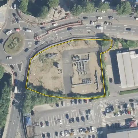
Land for retirement living
Flat sites of 0.2 to 1 ha in a town, among homes, a short walk from a supermarket and a bus stop. A car park, garage forecourt or yard is marked up: it is the brownfield land retirement developers buy most.
4,495 sites fit this search today
Imagery: Mapbox and Maxar. Boundaries: HM Land Registry INSPIRE, Crown copyright.
A land search, from the first words to a shortlist
38 seconds. Type what you are looking for, see the sites that fit, open one and save it to a shortlist.
What the search looks for
Each line is a filter on the map, so you can widen or tighten any of them.
Open the search- 0.2 to 1 ha in a town
- Flat
- A short walk to a supermarket and a bus stop
- Three addresses or fewer
- Among homes
On every site
- A walk to services
- Distance to a station, a supermarket and bus stops, measured from the site.
- The site itself
- Size, slope, flood zones and the addresses already on it.
- The market around it
- Home sales within 500 m in the last three years and their median price, from HM Land Registry.
Why these rules
Retirement developers look for 0.4 to 2.5 acres within half a mile of shops by a level walk (Churchill Retirement Living); national policy puts homes for older people where services are easy to reach on foot or by mobility scooter, built to accessible standards (NPPF, August 2026, HO9). Woodland is left out.
Land with fewer than 10 home sales within 500 m in three years is left out: an industrial estate or open country, not a place to live.
Sites from the search
Six of the sites the search returned on 10 November 2026. Each opens on the map with its record.
-
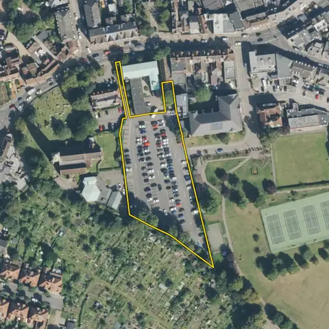 Weybridge0.55 ha
Elmbridge
Distance to a supermarket 279 mAverage slope 0.5°
-
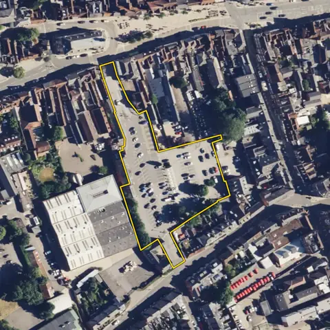 Henley-on-Thames0.59 ha
South Oxfordshire
Distance to a supermarket 172 mAverage slope 1.2°
-
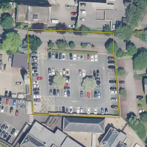 Enfield0.33 ha
Enfield
Distance to a supermarket 323 mAverage slope 1.1°
-
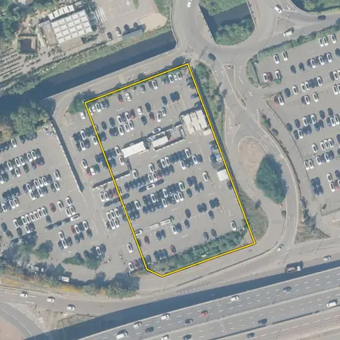 Barnet0.63 ha
Barnet
Distance to a supermarket 308 mAverage slope 1.0°
-
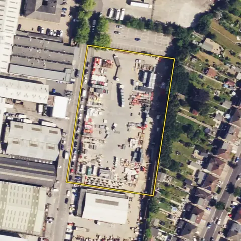 Watford0.70 ha
Watford
Distance to a supermarket 369 mAverage slope 0.8°
-
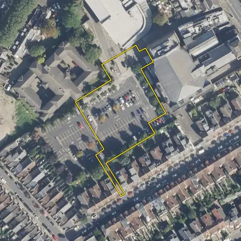 Wandsworth0.38 ha
Wandsworth
Distance to a supermarket 57 mAverage slope 1.0°
Imagery: Mapbox and Maxar. Boundaries: HM Land Registry INSPIRE, Crown copyright.
Related searches
- Land for care homes0.36 to 1.2 ha on a road, bus stop within 400 m, flat, out of flood zone 3, three addresses or fewer
- Land for build to rent0.4 to 3 ha near a station or tram stop in a town, at least four bus stops within 400 m, in a council where 17% or more of households rent privately, no excluded constraint mapped on it
- Brownfield land for homes0.1 to 2 ha in a built-up area, 15 to 70% under buildings, few addresses, no excluded constraint mapped on it, outside national parks
- Land for small housing sites300 m² to 0.5 ha, mostly open, in a built-up area, outside national parks