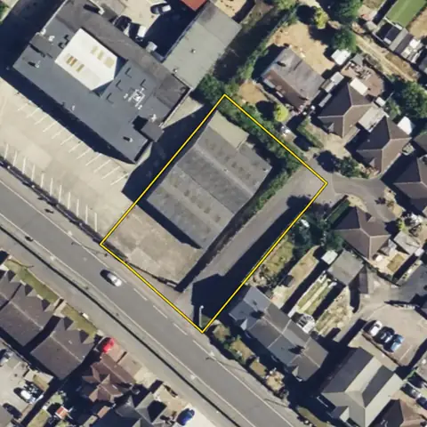
Brownfield land for homes
Built land of 0.1 to 2 ha in towns, 15 to 70% under buildings, with few addresses on it: yards, depots and works that council brownfield registers do not list. Houses in use are left out.
7,189 sites fit this search today
Imagery: Mapbox and Maxar. Boundaries: HM Land Registry INSPIRE, Crown copyright.
A land search, from the first words to a shortlist
38 seconds. Type what you are looking for, see the sites that fit, open one and save it to a shortlist.
What the search looks for
Each line is a filter on the map, so you can widen or tighten any of them.
Open the search- 0.1 to 2 ha in a built-up area
- 15 to 70% under buildings
- Few addresses
- No excluded constraint mapped on it
- Outside national parks
On every site
- The council's housing position
- The Housing Delivery Test result, the age of the local plan, and homes added a year against the number the council needs.
- Constraints, measured on the site
- The share of the site in the green belt, each flood zone, a conservation area and the other mapped constraints, each from its named source.
- Planning on and around it
- Ten years of planning applications on the parcel, and homes approved nearby in the last five years.
Why these rules
Previously developed land as national policy (NPPF, August 2026) defines it; council registers list only part of it. National parks and the Broads are left out: national policy refuses major development there other than in exceptional circumstances and limits the scale of the rest (NPPF, August 2026, N4); set National park to Any under Constraints to include them.
Houses in use are left out (one to three addresses with 50 to 700 m² of buildings and no business certificate): previously developed land leaves out residential gardens in built-up areas (NPPF glossary).
Sites from the search
Six of the sites the search returned on 10 November 2026. Each opens on the map with its record.
-
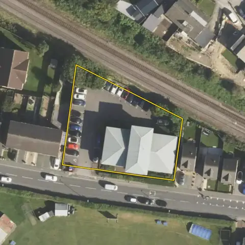 Garforth0.13 ha
Leeds
Under buildings 22%Building footprint 291 m²
-
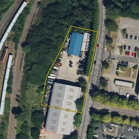 Warrington0.36 ha
Warrington
Under buildings 29%Building footprint 1,028 m²
-
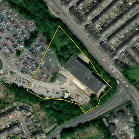 Plymouth1.87 ha
Plymouth
Under buildings 16%Building footprint 3,029 m²
-
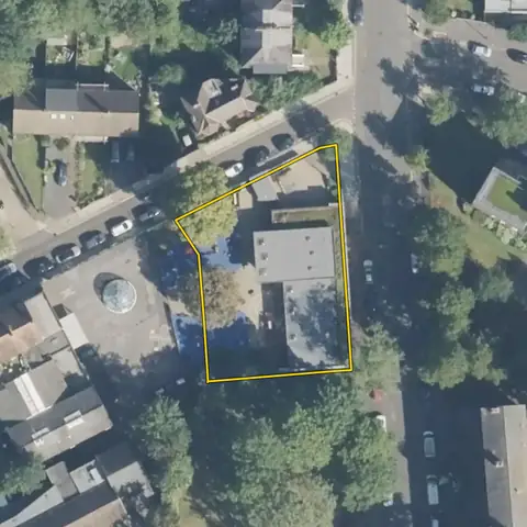 Lewisham0.10 ha
Lewisham
Under buildings 42%Building footprint 430 m²
-
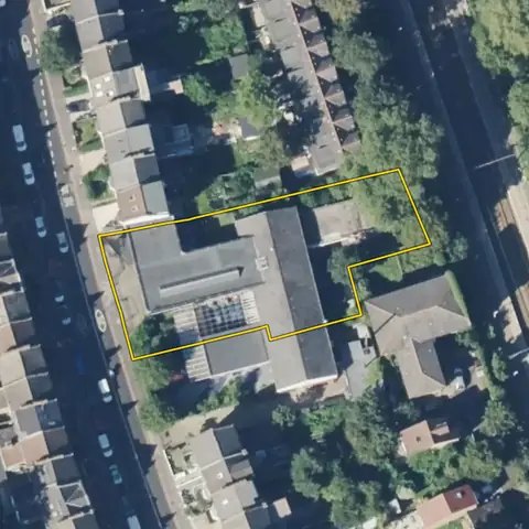 Hackney0.14 ha
Hackney
Under buildings 57%Building footprint 773 m²
-
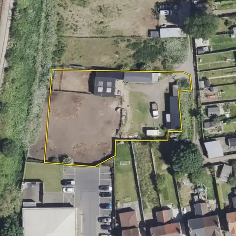 Hartlepool0.17 ha
Hartlepool
Under buildings 19%Building footprint 330 m²
Imagery: Mapbox and Maxar. Boundaries: HM Land Registry INSPIRE, Crown copyright.
Related searches
- Brownfield register sitesA council brownfield register site on it
- Offices and shops to convert to homesAn office or shop building on the energy certificate register, one to three buildings of 250 m² or more covering at least a third of the plot, in a town in England, no Article 4 on offices to homes, not listed, outside national landscapes and parks
- Buildings to knock down and rebuild as homesOne office or industrial building of 150 to 1,000 m² on the energy certificate register, up to 18 m tall where measured, in a town in England, not listed, outside protected areas
- Land for small housing sites300 m² to 0.5 ha, mostly open, in a built-up area, outside national parks