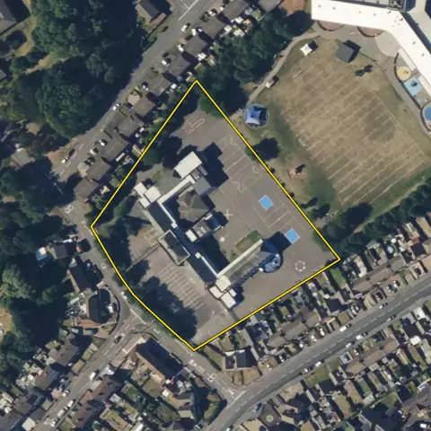
Brownfield register sites
Land a council has put on its brownfield register: at least 0.25 ha or room for 5 homes, judged suitable, available and achievable for housing. Plota draws each entry on its parcel with the planning history beside it.
15,516 sites fit this search today
Imagery: Mapbox and Maxar. Boundaries: HM Land Registry INSPIRE, Crown copyright.
A land search, from the first words to a shortlist
38 seconds. Type what you are looking for, see the sites that fit, open one and save it to a shortlist.
What the search looks for
Each line is a filter on the map, so you can widen or tighten any of them.
Open the search- A council brownfield register site on it
On every site
- The council's housing position
- The Housing Delivery Test result, the age of the local plan, and homes added a year against the number the council needs.
- Constraints, measured on the site
- The share of the site in the green belt, each flood zone, a conservation area and the other mapped constraints, each from its named source.
- Planning on and around it
- Ten years of planning applications on the parcel, and homes approved nearby in the last five years.
Why these rules
Council brownfield land registers (planning.data.gov.uk): land of at least 0.25 ha or room for 5 homes that the council judges suitable, available and achievable for housing; a site in Part 2 has permission in principle (Town and Country Planning (Brownfield Land Register) Regulations 2017, regulations 4 and 5).
Sites from the search
Six of the sites the search returned on 10 November 2026. Each opens on the map with its record.
-
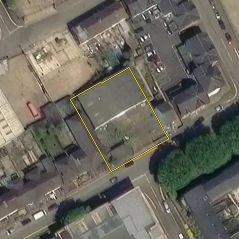 Dover937 m²
Dover
Under buildings 48%Building footprint 447 m²
-
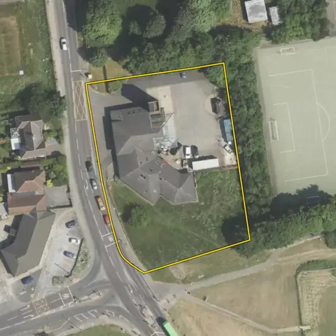 Leeds0.36 ha
Leeds
Under buildings 19%Building footprint 685 m²
-
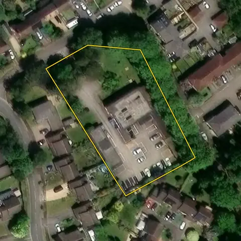 Whitchurch0.36 ha
Basingstoke and Deane
Under buildings 23%Building footprint 834 m²
-
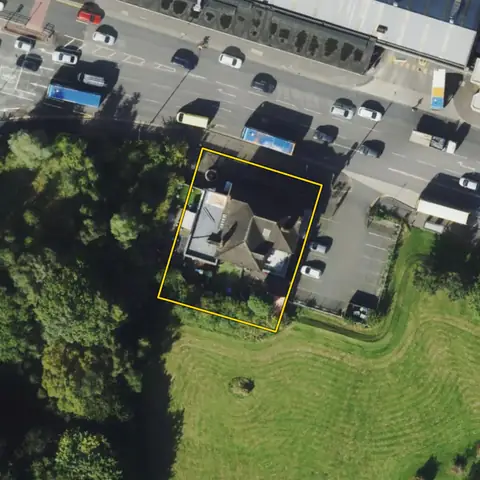 Manchester734 m²
Manchester
Under buildings 39%Building footprint 288 m²
-
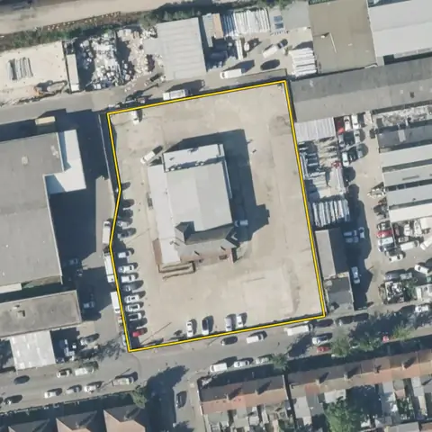 Ealing0.43 ha
Ealing
Under buildings 19%Building footprint 798 m²
-
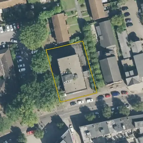 Addlestone965 m²
Runnymede
Under buildings 39%Building footprint 375 m²
Imagery: Mapbox and Maxar. Boundaries: HM Land Registry INSPIRE, Crown copyright.
Related searches
- Brownfield land for homes0.1 to 2 ha in a built-up area, 15 to 70% under buildings, few addresses, no excluded constraint mapped on it, outside national parks
- Land with lapsed planning permissionTime limit passed, with no start or later approval on record
- Land owned by councils and public bodiesCouncils, government bodies, health, police and fire; no park, playing field or common
- Land for small housing sites300 m² to 0.5 ha, mostly open, in a built-up area, outside national parks