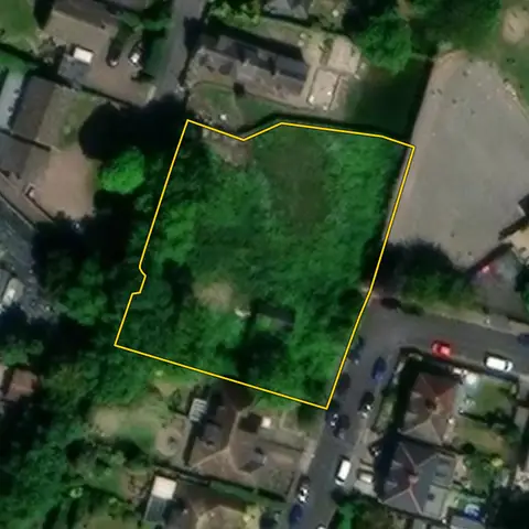
Land for small housing sites
Plots of 300 m² to half a hectare inside towns and villages, mostly open: the size national policy treats as minor development. Plota searches every parcel, on the market or not, and shows the constraints and planning history of each.
103,031 sites fit this search today
Imagery: Mapbox and Maxar. Boundaries: HM Land Registry INSPIRE, Crown copyright.
A land search, from the first words to a shortlist
38 seconds. Type what you are looking for, see the sites that fit, open one and save it to a shortlist.
What the search looks for
Each line is a filter on the map, so you can widen or tighten any of them.
Open the search- 300 m² to 0.5 ha
- Mostly open
- In a built-up area
- Outside national parks
On every site
- The council's housing position
- The Housing Delivery Test result, the age of the local plan, and homes added a year against the number the council needs.
- Constraints, measured on the site
- The share of the site in the green belt, each flood zone, a conservation area and the other mapped constraints, each from its named source.
- Planning on and around it
- Ten years of planning applications on the parcel, and homes approved nearby in the last five years.
Why these rules
Under 0.5 ha and fewer than 10 homes is minor development (Development Management Procedure Order 2015, article 2; NPPF, August 2026, glossary); the homes figure is a density estimate, and 10 or more on a plot means a major application. National policy (HO6) counts sites of up to 1 ha as small.
National parks and the Broads are left out: national policy refuses major development there other than in exceptional circumstances and limits the scale of the rest (NPPF, August 2026, N4); set National park to Any under Constraints to include them.
Sites from the search
Six of the sites the search returned on 10 November 2026. Each opens on the map with its record.
-
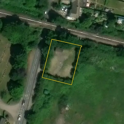 Frinton and Walton744 m²
Tendring
Widest point 24 mApplications on the site 0
-
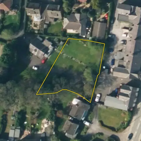 Handforth0.11 ha
Cheshire East
Widest point 30 mApplications on the site 0
-
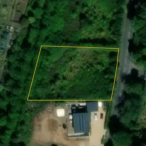 Gainsborough0.20 ha
West Lindsey
Road frontage 16 mWidest point 36 m
-
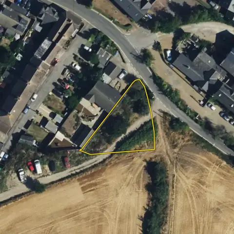 Teynham551 m²
Swale
Road frontage 10 mWidest point 20 m
-
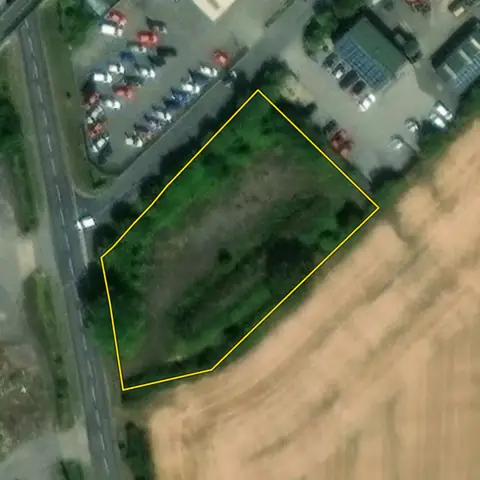 Kirton in Lindsey0.25 ha
North Lincolnshire
Widest point 39 mApplications on the site 0
-
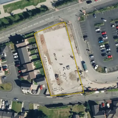 St Helens0.23 ha
St Helens
Widest point 33 mApplications on the site 0
Imagery: Mapbox and Maxar. Boundaries: HM Land Registry INSPIRE, Crown copyright.
Related searches
- Garden plots with room for a homeOne house on 0.15 to 0.5 ha in a town or village, a quarter or less under buildings, room for a drive, outside national parks; a conservation area is flagged as a risk
- Land for self-build homes210 m² to 0.2 ha, open, on a road, in or next to a town or village, outside national parks
- Brownfield land for homes0.1 to 2 ha in a built-up area, 15 to 70% under buildings, few addresses, no excluded constraint mapped on it, outside national parks
- Land for medium housing sites0.5 to 5 ha, open, within 100 m of a built-up area, outside national parks