Land for build to rent
Sites of 0.4 to 3 ha near a station or tram stop in a town, with at least four bus stops within 400 m, in a council where 17% or more of households rent privately.
2,946 sites fit this search today
Imagery: Mapbox and Maxar. Boundaries: HM Land Registry INSPIRE, Crown copyright.
A land search, from the first words to a shortlist
38 seconds. Type what you are looking for, see the sites that fit, open one and save it to a shortlist.
What the search looks for
Each line is a filter on the map, so you can widen or tighten any of them.
Open the search- 0.4 to 3 ha near a station or tram stop in a town
- At least four bus stops within 400 m
- In a council where 17% or more of households rent privately
- No excluded constraint mapped on it
On every site
- A walk to services
- Distance to a station, a supermarket and bus stops, measured from the site.
- The site itself
- Size, slope, flood zones and the addresses already on it.
- The market around it
- Home sales within 500 m in the last three years and their median price, from HM Land Registry.
Why these rules
Build to rent is purpose-built housing, typically all rented, in single ownership and professionally managed (NPPF, August 2026, glossary); schemes average 144 homes complete and 292 in planning (industry figures, Q2 2026), so they go where a station and a busy bus network serve a town with a rental market: here, a council where 17% or more of households rent privately; about 20% is affordable private rent at least 20% below market rents (Planning Practice Guidance, Build to rent, May 2026).
Woodland is left out.
Sites from the search
Six of the sites the search returned on 10 November 2026. Each opens on the map with its record.
-
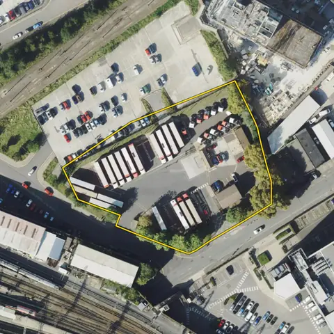
 Wolverhampton0.50 ha
Wolverhampton
Nearest station WolverhamptonDistance to a station 159 m
-
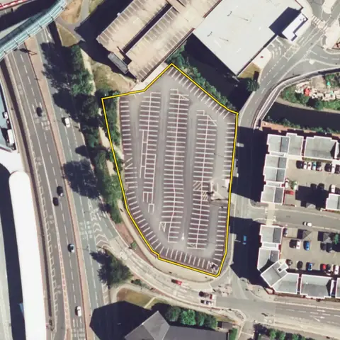
 Ealing0.50 ha
Ealing
Nearest station SouthallDistance to a station 364 m
-
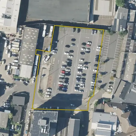
 Southwark0.42 ha
Southwark
Nearest station Peckham RyeDistance to a station 383 m
-
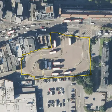
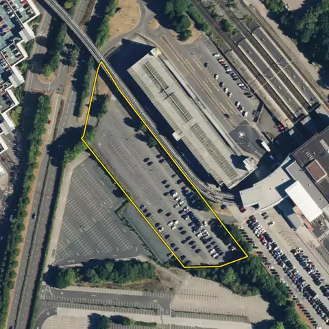 Bickenhill and Marston Green1.02 ha
Solihull
Nearest station Birmingham InternationalDistance to a station 91 m
-
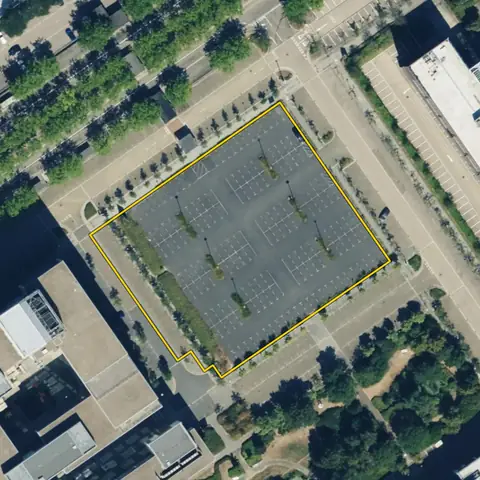 Central Milton Keynes0.47 ha
Milton Keynes
Nearest station Milton Keynes CentralDistance to a station 562 m
-
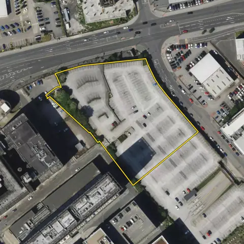 Liverpool0.92 ha
Liverpool
Nearest station MoorfieldsDistance to a station 414 m
Imagery: Mapbox and Maxar. Boundaries: HM Land Registry INSPIRE, Crown copyright.
Related searches
- Land for homes near a stationAbout 800 m walk from a station (615 m straight line), 0.2 to 10 ha, open, outside national parks
- Land for care homes0.36 to 1.2 ha on a road, bus stop within 400 m, flat, out of flood zone 3, three addresses or fewer
- Land for retirement living0.2 to 1 ha in a town, flat, a short walk to a supermarket and a bus stop, three addresses or fewer, among homes
- Houses to convert to HMOsOne house of 60 to 150 m² footprint on a plot of up to 600 m², in a town in England near a station or tram stop, in a council where 17% or more of households rent privately, no Article 4 on small HMOs