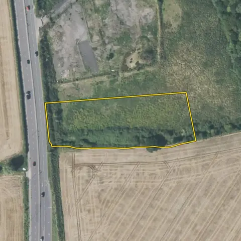
Land for EV charging hubs
Plots of 800 m² to 0.8 ha on a road carrying 15,000 or more vehicles a day, within 2 km of an A road, where the nearest substation has 0.5 MVA or more of spare demand capacity.
258 sites fit this search today
Imagery: Mapbox and Maxar. Boundaries: HM Land Registry INSPIRE, Crown copyright.
A land search, from the first words to a shortlist
38 seconds. Type what you are looking for, see the sites that fit, open one and save it to a shortlist.
What the search looks for
Each line is a filter on the map, so you can widen or tighten any of them.
Open the search- 800 m² to 0.8 ha on a road carrying 15,000 or more vehicles a day
- Within 2 km of an A road
- 0.5 MVA or more spare demand at the nearest substation
On every site
- The grid
- The nearest primary substation by name, the distance to it, and the spare generation and demand capacity its network operator publishes.
- The land
- Slope, farmland grade, tree cover and flood zones, with solar yield and mean wind speed for every parcel.
- What is there already
- Solar, wind and battery schemes on or near the land with their status, and national infrastructure projects that take in part of it.
Why these rules
Charging operators want at least 500 m², better 900 to 5,000 m², within three minutes of a road with 20,000 cars a day, open all hours, and a grid connection of 500 kW or more (Fastned; Ionity asks for 500 m² near a major road). So the nearest primary substation must publish at least 0.5 MVA of spare demand capacity. Woodland is left out.
Grass inside a housing area with no building, business or supermarket near is left out: council open space.
Sites from the search
Six of the sites the search returned on 10 November 2026. Each opens on the map with its record.
-
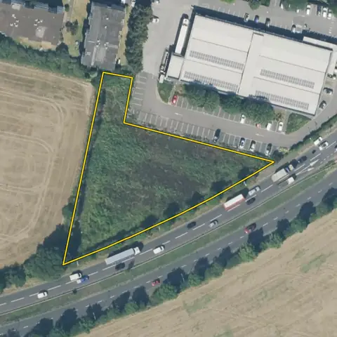 Havering0.35 ha
Havering
Road with a traffic count A12Distance to an A road 12 m
-
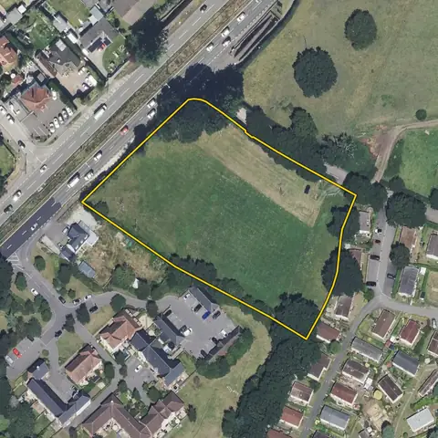 West Moors0.80 ha
Dorset
Road with a traffic count A31Distance to an A road 16 m
-
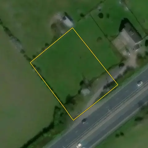 Seasalter0.23 ha
Canterbury
Road with a traffic count A299Distance to an A road 13 m
-
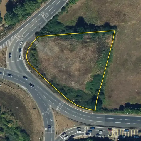 Old Stratford0.48 ha
West Northamptonshire
Road with a traffic count A5Distance to an A road 11 m
-
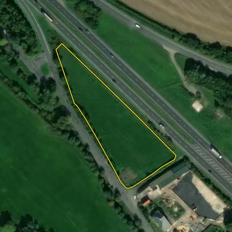 Cricklade0.78 ha
Wiltshire
Road with a traffic count A419Distance to an A road 10 m
-
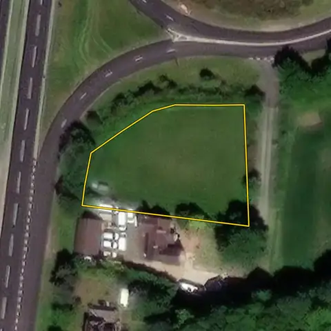 Babworth0.13 ha
Bassetlaw
Road with a traffic count A1Distance to an A road 10 m
Imagery: Mapbox and Maxar. Boundaries: HM Land Registry INSPIRE, Crown copyright.
Related searches
- Land for drive-thrus0.12 to 0.5 ha, compact, at least 30 m across, fronting an A road (within 20 m, none inside it) with 15,000 or more vehicles a day, away from schools, no housing estate or village on it
- Land with grid capacity for demand0.5 ha or more of open land within 1 km of a primary substation, three addresses or fewer, the most spare demand capacity first (much of the grid has none)
- Land for battery storage0.5 to 1.5 ha within 1 km of a primary substation with 5 MW or more spare both ways, or 1.5 to 6 ha within 3 km of a bulk supply point with 30 or more, out of flood zone 3, not in a town
- Land for small solar farms1.6 to 11 ha of open land outside towns, within 2 km of a primary substation, slope under 5°, best farmland ranked lower, on a road, out of flood zone 3 and protected landscapes, not water, green space, an airfield or an existing solar or wind farm; the most megawatts the land and the grid can both take first, then nearest a substation first