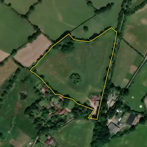
Land for small solar farms
Open land of 1.6 to 11 ha outside towns, on a road and within 2 km of a primary substation: the size a 1 to 5 MW scheme needs, connecting at 11 kV. Flood zone 3 and protected landscapes are left out.
16,595 sites fit this search today
Imagery: Mapbox and Maxar. Boundaries: HM Land Registry INSPIRE, Crown copyright.
A land search, from the first words to a shortlist
38 seconds. Type what you are looking for, see the sites that fit, open one and save it to a shortlist.
What the search looks for
Each line is a filter on the map, so you can widen or tighten any of them.
Open the search- 1.6 to 11 ha of open land outside towns
- Within 2 km of a primary substation
- Slope under 5°
- Best farmland ranked lower
- On a road
- Out of flood zone 3 and protected landscapes
- Not water, green space, an airfield or an existing solar or wind farm
In this order: the most megawatts the land and the grid can both take first, then nearest a substation first.
On every site
- The grid
- The nearest primary substation by name, the distance to it, and the spare generation and demand capacity its network operator publishes.
- The land
- Slope, farmland grade, tree cover and flood zones, with solar yield and mean wind speed for every parcel.
- What is there already
- Solar, wind and battery schemes on or near the land with their status, and national infrastructure projects that take in part of it.
Why these rules
National Policy Statement EN-3 (2025, in force since 6 January 2026), paragraph 2.10.9: a solar farm currently needs 1.6 to 2.25 ha (4 to 5.6 acres) for each MW, so 1 to 5 MW is about 1.6 to 11 ha; slope and frontage are common practice; small schemes connect at 11 kV, within about 2 km of a primary substation. Woodland is left out.
Best and most versatile farmland is not left out: national policy steers solar away from it where possible (EN-3), so it ranks below poorer land and is flagged on each site; land over half grades 1 and 2, over a fifth under trees, or over 30% inside a national infrastructure project is left out.
Sites from the search
Six of the sites the search returned on 10 November 2026. Each opens on the map with its record.
-
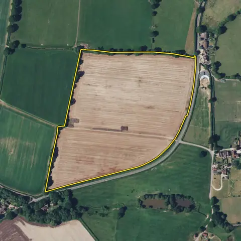 Hurstpierpoint and Sayers Common9.78 ha
Mid Sussex
Primary substation Hurstpierpoint 11kVDistance to that substation 925 m
-
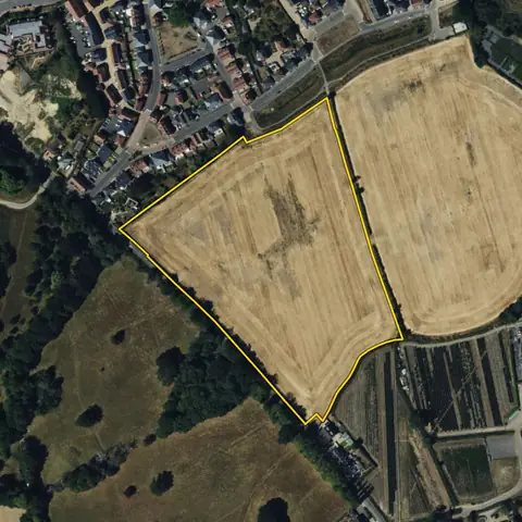 Tenterden4.82 ha
Ashford
Primary substation Tenterden 6.6kVDistance to that substation 329 m
-
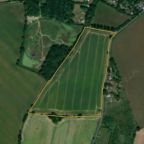 St Osyth8.29 ha
Tendring
Primary substation Chisbon Heath Primary 11kVDistance to that substation 1.0 km
-
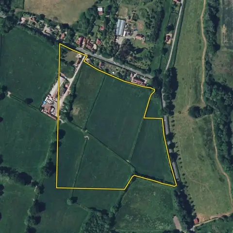 Wiston6.46 ha
Horsham
Primary substation Ashington 11kVDistance to that substation 1.0 km
-
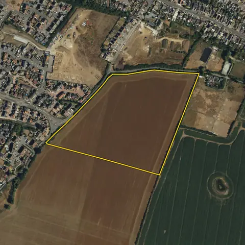 Minster-on-Sea8.61 ha
Swale
Primary substation Minster 6.6kVDistance to that substation 458 m
-
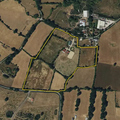 Headcorn8.60 ha
Maidstone
Primary substation Headcorn 6.6kVDistance to that substation 744 m
Imagery: Mapbox and Maxar. Boundaries: HM Land Registry INSPIRE, Crown copyright.
Related searches
- Land for solar farms8 ha or more, within 3 km of a primary substation, slope under 5°, under a fifth trees, outside protected landscapes, not water, an airfield or an existing solar or wind farm; the most megawatts the land and the grid can both take first, best farmland ranked lower, then nearest a substation first
- Land for battery storage0.5 to 1.5 ha within 1 km of a primary substation with 5 MW or more spare both ways, or 1.5 to 6 ha within 3 km of a bulk supply point with 30 or more, out of flood zone 3, not in a town
- Land with grid capacity for generation0.5 ha or more of open land within 1 km of a primary substation, three addresses or fewer, the most spare generation capacity first (much of the grid has none)
- Land for EV charging hubs800 m² to 0.8 ha on a road carrying 15,000 or more vehicles a day, within 2 km of an A road, 0.5 MVA or more spare demand at the nearest substation