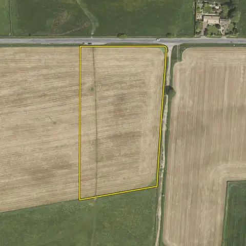
Land for battery storage
Land of 0.5 to 1.5 ha within 1 km of a primary substation with 5 MW or more spare both ways, or 1.5 to 6 ha within 3 km of a bulk supply point with 30 or more. Flood zone 3 and towns are left out.
9,119 sites fit this search today
Imagery: Mapbox and Maxar. Boundaries: HM Land Registry INSPIRE, Crown copyright.
A land search, from the first words to a shortlist
38 seconds. Type what you are looking for, see the sites that fit, open one and save it to a shortlist.
What the search looks for
Each line is a filter on the map, so you can widen or tighten any of them.
Open the search- 0.5 to 1.5 ha within 1 km of a primary substation with 5 MW or more spare both ways, or 1.5 to 6 ha within 3 km of a bulk supply point with 30 or more
- Out of flood zone 3
- Not in a town
On every site
- The grid
- The nearest primary substation by name, the distance to it, and the spare generation and demand capacity its network operator publishes.
- The land
- Slope, farmland grade, tree cover and flood zones, with solar yield and mean wind speed for every parcel.
- What is there already
- Solar, wind and battery schemes on or near the land with their status, and national infrastructure projects that take in part of it.
Why these rules
The National Fire Chiefs Council's guidance (December 2025) starts from 30 m between battery units and occupied buildings, water for two hours and a second way in. A battery of any size in England is decided by the council, not as a national project (Infrastructure Planning (Electricity Storage Facilities) Order 2020).
National policy counts it as essential infrastructure for flood risk, so it must still pass the sequential test (NPPF, August 2026, Annex F and F5). Batteries connect close to a substation. Woodland is left out.
Two sizes, each tied to the substation that can take it: 0.5 to 1.5 ha (about 10 to 50 MW) at a primary substation within 1 km with at least 5 MW spare generation and 5 MVA spare demand, or 1.5 to 6 ha at a bulk supply point within 3 km with at least 30 of each (Electricity North West ES216 connection voltages). Best and most versatile farmland is flagged on each site, not left out.
Sites from the search
Six of the sites the search returned on 10 November 2026. Each opens on the map with its record.
-
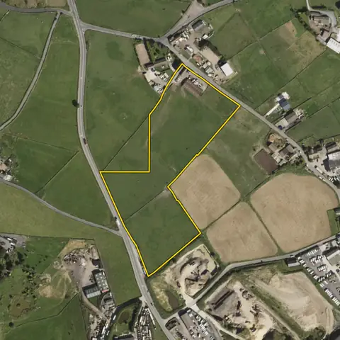 Northowram and Shelf3.28 ha
Calderdale
Primary substation QueensburyDistance to that substation 373 m
-
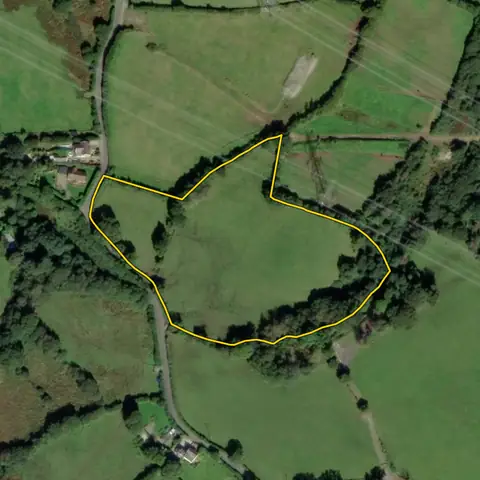 Mawr2.34 ha
Swansea
Primary substation Swansea North LocalDistance to that substation 899 m
-
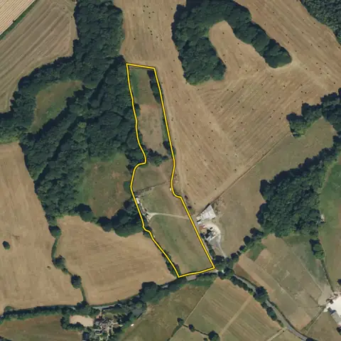 Wingerworth1.96 ha
North East Derbyshire
Primary substation Walton 33 11Kv S StnDistance to that substation 640 m
-
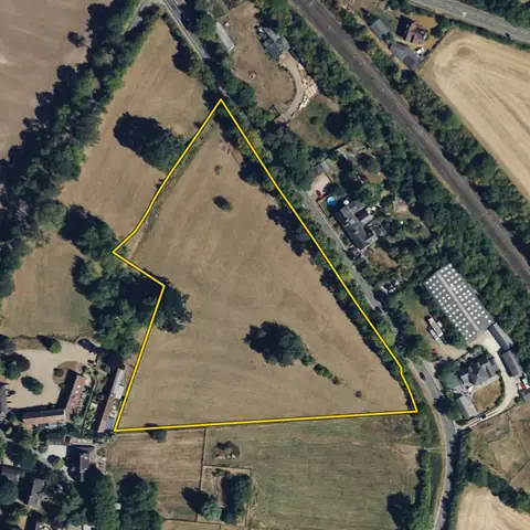 Harbury1.69 ha
Stratford-on-Avon
Primary substation Harbury 11Kv S StnDistance to that substation 436 m
-
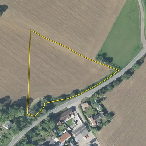 Thaxted0.76 ha
Uttlesford
Primary substation Thaxted Grid 33kVDistance to that substation 287 m
-
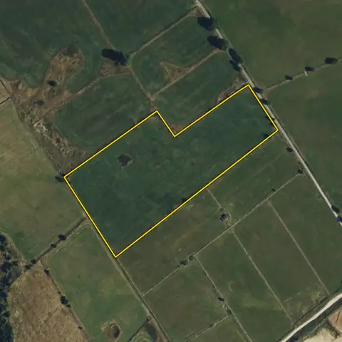 Ivonbrook Grange3.19 ha
Derbyshire Dales
Primary substation Winster 33Kv S StnDistance to that substation 911 m
Imagery: Mapbox and Maxar. Boundaries: HM Land Registry INSPIRE, Crown copyright.
Related searches
- Land with grid capacity for storage0.5 ha or more of open land within 1 km of a primary substation, three addresses or fewer, the most spare capacity both ways first (much of the grid has none)
- Land for solar farms8 ha or more, within 3 km of a primary substation, slope under 5°, under a fifth trees, outside protected landscapes, not water, an airfield or an existing solar or wind farm; the most megawatts the land and the grid can both take first, best farmland ranked lower, then nearest a substation first
- Land for small solar farms1.6 to 11 ha of open land outside towns, within 2 km of a primary substation, slope under 5°, best farmland ranked lower, on a road, out of flood zone 3 and protected landscapes, not water, green space, an airfield or an existing solar or wind farm; the most megawatts the land and the grid can both take first, then nearest a substation first
- Land for EV charging hubs800 m² to 0.8 ha on a road carrying 15,000 or more vehicles a day, within 2 km of an A road, 0.5 MVA or more spare demand at the nearest substation