Land with grid capacity for demand
Open land of 0.5 ha or more within 1 km of a primary substation, ordered by the spare demand capacity its network operator publishes: the power charging hubs and data centres import.
15,243 sites fit this search today
Imagery: Mapbox and Maxar. Boundaries: HM Land Registry INSPIRE, Crown copyright.
A land search, from the first words to a shortlist
38 seconds. Type what you are looking for, see the sites that fit, open one and save it to a shortlist.
What the search looks for
Each line is a filter on the map, so you can widen or tighten any of them.
Open the search- 0.5 ha or more of open land within 1 km of a primary substation
- Three addresses or fewer
In this order: the most spare demand capacity first (much of the grid has none).
On every site
- Room and access
- The widest circle that fits inside the plot, its road frontage, and the addresses on it.
- What changes the route to consent
- Conservation areas, national landscapes, national parks, listed buildings and SSSIs, mapped against the plot.
- Who to ask
- The kind of owner, from HM Land Registry, and the planning history of the plot.
Why these rules
Charging hubs and data centres import, so they need spare demand capacity (the headroom each network operator publishes for its primary substations; a connection application fixes the final figure). Larger projects joining the national queue must hold land rights, an option, a lease or the freehold, to keep their place (Ofgem's connections reform decision, April 2025).
A new 11 kV cable costs about £110 to £380 a metre and a 33 kV one £1,700 to £3,200 (Electricity North West's connection charges, June 2026), so the distance matters. Woodland is left out.
Sites from the search
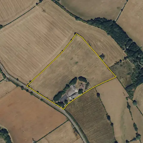
Six of the sites the search returned on 10 November 2026. Each opens on the map with its record.
-
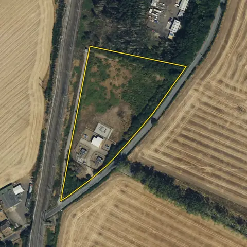 Westoning2.00 ha
Central Bedfordshire
Primary substation Westoning Grid 33kVDistance to that substation Adjoining
-
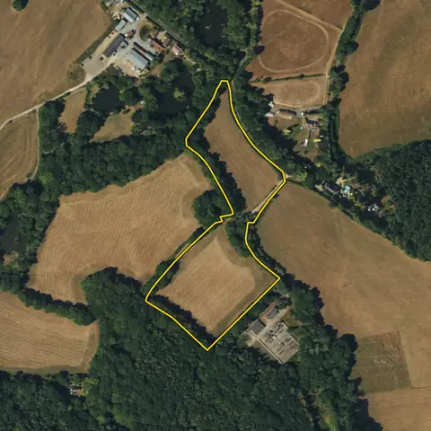 Dormansland3.33 ha
Tandridge
Primary substation Dormansland Grid 33kVDistance to that substation 29 m
-
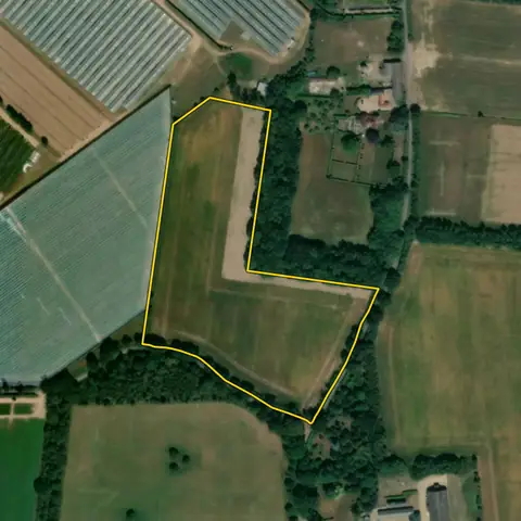 Ardleigh3.60 ha
Tendring
Primary substation Lawford Grid 33kVDistance to that substation 779 m
-
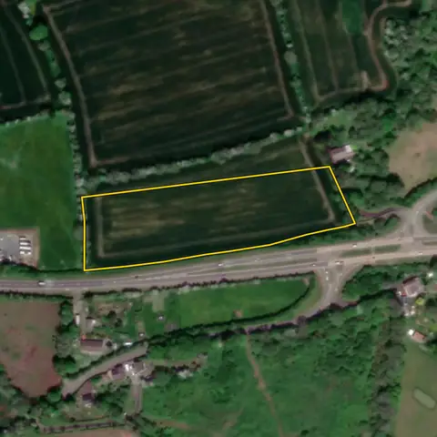 Cosheston1.91 ha
Pembrokeshire
Primary substation Golden Hill GridDistance to that substation 762 m
-
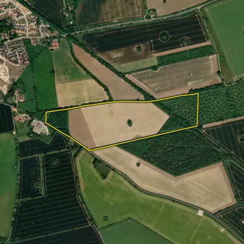 Swaffham23.2 ha
Breckland
Primary substation Swaffham Grid 33kVDistance to that substation 51 m
-
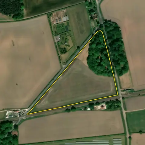 Babworth5.23 ha
Bassetlaw
Primary substation Checkerhouse 33Kv S StnDistance to that substation 145 m
Imagery: Mapbox and Maxar. Boundaries: HM Land Registry INSPIRE, Crown copyright.
Related searches
- Land for EV charging hubs800 m² to 0.8 ha on a road carrying 15,000 or more vehicles a day, within 2 km of an A road, 0.5 MVA or more spare demand at the nearest substation
- Land for data centres10 ha or more, compact, at least 150 m across, slope under 5°, out of flood zones 2 and 3 now and with climate change and out of coal mining risk, within 2 km of a motorway or beside a trunk A road, outside national parks, no housing estate or village on it
- Land with grid capacity for generation0.5 ha or more of open land within 1 km of a primary substation, three addresses or fewer, the most spare generation capacity first (much of the grid has none)
- Land with grid capacity for storage0.5 ha or more of open land within 1 km of a primary substation, three addresses or fewer, the most spare capacity both ways first (much of the grid has none)