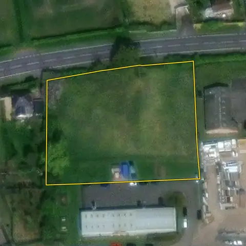
Open land for new homes
Open land of 0.4 to 2 ha with no excluded constraint mapped on it, within 250 m of a town or village. Car parks, yards and woodland are left out.
47,671 sites fit this search today
Imagery: Mapbox and Maxar. Boundaries: HM Land Registry INSPIRE, Crown copyright.
A land search, from the first words to a shortlist
38 seconds. Type what you are looking for, see the sites that fit, open one and save it to a shortlist.
What the search looks for
Each line is a filter on the map, so you can widen or tighten any of them.
Open the search- 0.4 to 2 ha
- Open
- No excluded constraint mapped on it
- Outside national parks
On every site
- The council's housing position
- The Housing Delivery Test result, the age of the local plan, and homes added a year against the number the council needs.
- Constraints, measured on the site
- The share of the site in the green belt, each flood zone, a conservation area and the other mapped constraints, each from its named source.
- Planning on and around it
- Ten years of planning applications on the parcel, and homes approved nearby in the last five years.
Why these rules
National parks and the Broads are left out: national policy refuses major development there other than in exceptional circumstances and limits the scale of the rest (NPPF, August 2026, N4); set National park to Any under Constraints to include them. Car parks, yards and hard standing are left out, and land more than 250 m from a town or village. Woodland is left out.
Sites from the search
Six of the sites the search returned on 10 November 2026. Each opens on the map with its record.
-
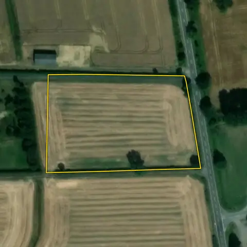 Kirton in Lindsey1.03 ha
North Lincolnshire
Distance to built-up area 42 mAverage slope 1.4°
-
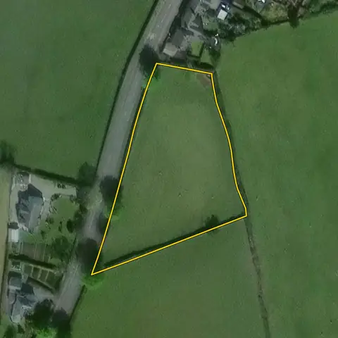 Kirkby Ireleth0.48 ha
Westmorland and Furness
Distance to built-up area AdjoiningAverage slope 1.6°
-
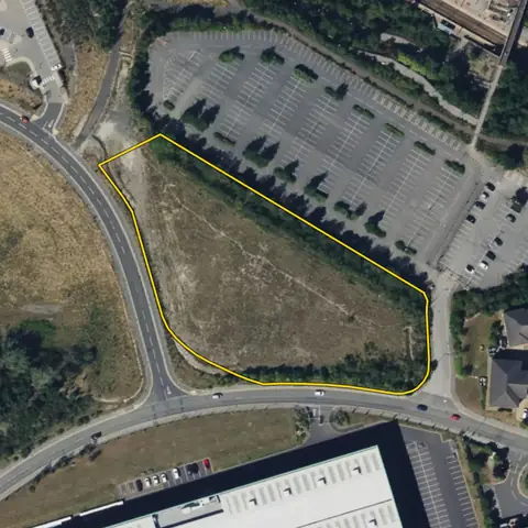 Castleford0.93 ha
Wakefield
Distance to built-up area AdjoiningAverage slope 3.0°
-
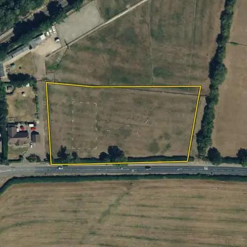 Bow Brickhill0.81 ha
Milton Keynes
Distance to built-up area 111 mAverage slope 1.2°
-
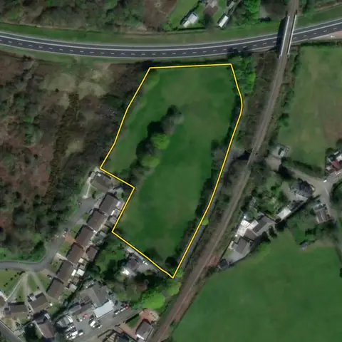 East Williamston1.36 ha
Pembrokeshire
Distance to built-up area AdjoiningAverage slope 1.5°
-
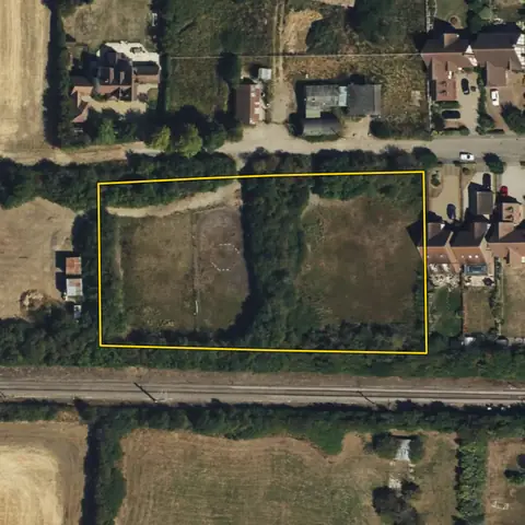 North Fambridge0.54 ha
Maldon
Distance to built-up area AdjoiningAverage slope 0.6°
Imagery: Mapbox and Maxar. Boundaries: HM Land Registry INSPIRE, Crown copyright.
Related searches
- Land for medium housing sites0.5 to 5 ha, open, within 100 m of a built-up area, outside national parks
- Grey belt landIn the green belt, within 100 m of a town or village, 0.4 ha or more, open, outside national parks
- Land in councils short of housing landOpen land of 0.4 ha or more outside national parks, where delivery is under 75%, or the local plan is over five years old and fewer homes are added a year than the council needs
- Land to promote at the edge of towns0.5 ha or more just outside a built-up area, open, no planning application on record, outside national parks