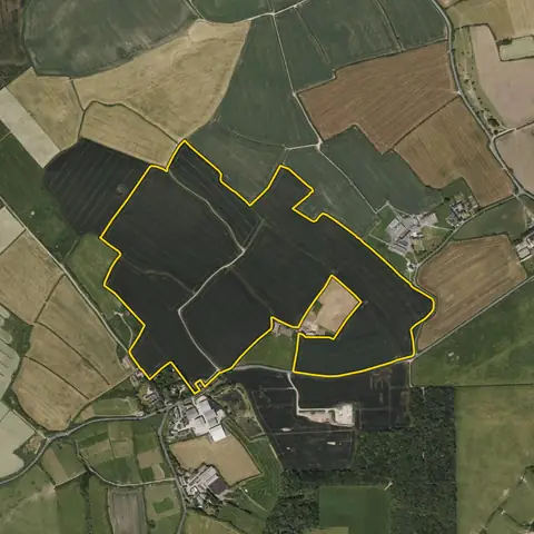
Land for wind farms
Open land of 16 ha or more with room for a turbine 220 m clear of the parcel edges, 500 m or more from a town or village and outside protected landscapes. Mean wind speed at 100 m is on every site.
8,347 sites fit this search today
Imagery: Mapbox and Maxar. Boundaries: HM Land Registry INSPIRE, Crown copyright.
A land search, from the first words to a shortlist
38 seconds. Type what you are looking for, see the sites that fit, open one and save it to a shortlist.
What the search looks for
Each line is a filter on the map, so you can widen or tighten any of them.
Open the search- 16 ha or more
- Room for a turbine 220 m clear of the parcel edges
- Open
- Three addresses or fewer
- 500 m or more from a town or village
- Outside protected landscapes
- Not green space, an airfield or an existing wind or solar farm
On every site
- The grid
- The nearest primary substation by name, the distance to it, and the spare generation and demand capacity its network operator publishes.
- The land
- Slope, farmland grade, tree cover and flood zones, with solar yield and mean wind speed for every parcel.
- What is there already
- Solar, wind and battery schemes on or near the land with their status, and national infrastructure projects that take in part of it.
Why these rules
England has no set distance between turbines and homes: noise limits and the effect on each home decide it (planning practice guidance, renewable and low carbon energy). Turbines are kept back from roads, paths and lines: from a trunk road its height plus 50 m or one and a half times its height, whichever is less (DfT Circular 01/2022), from a bridleway its tip height plus 10% (British Horse Society).
The 220 m from the parcel edge is that tip height plus 10% for a 200 m turbine. Since 31 December 2025 a wind farm over 100 MW in England is a national infrastructure project; in Wales 50 MW or more goes to Welsh Ministers. Land within 3 km of an aerodrome is left out: the Ministry of Defence and the airfield object to turbines in their safeguarding.
Land with a mean wind speed under 5.5 m/s at 100 m is left out (Global Wind Atlas); 5.5 to 6 m/s ranks lower, as viable only with low-wind turbines.
Sites from the search
Six of the sites the search returned on 10 November 2026. Each opens on the map with its record.
-
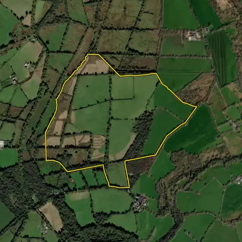 Llanystumdwy45.9 ha
Gwynedd
Wind speed at 100 m 7.8 m/sWidest point 582 m
-
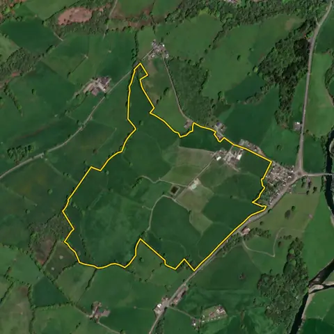 Llansadwrn48.0 ha
Carmarthenshire
Wind speed at 100 m 7.3 m/sWidest point 559 m
-
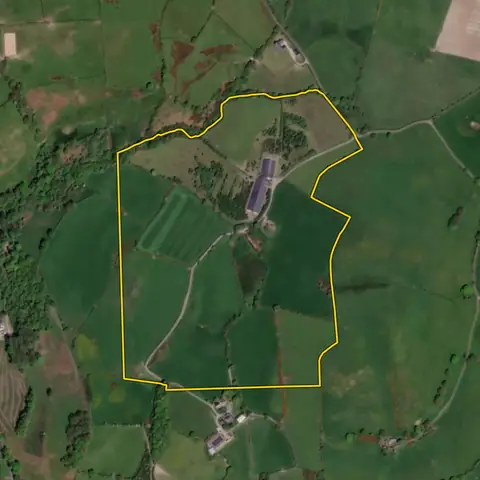 Llanilar28.2 ha
Ceredigion
Wind speed at 100 m 8.7 m/sWidest point 463 m
-
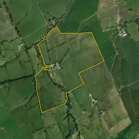 Barnoldswick40.6 ha
Pendle
Wind speed at 100 m 8.3 m/sWidest point 468 m
-
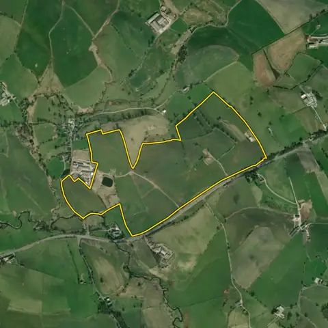 Horton53.6 ha
Ribble Valley
Wind speed at 100 m 8.1 m/sWidest point 449 m
-
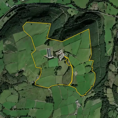 Llanidloes Without101 ha
Powys
Wind speed at 100 m 9.0 m/sWidest point 533 m
Imagery: Mapbox and Maxar. Boundaries: HM Land Registry INSPIRE, Crown copyright.
Related searches
- Land for solar farms8 ha or more, within 3 km of a primary substation, slope under 5°, under a fifth trees, outside protected landscapes, not water, an airfield or an existing solar or wind farm; the most megawatts the land and the grid can both take first, best farmland ranked lower, then nearest a substation first
- Land for battery storage0.5 to 1.5 ha within 1 km of a primary substation with 5 MW or more spare both ways, or 1.5 to 6 ha within 3 km of a bulk supply point with 30 or more, out of flood zone 3, not in a town
- Land with grid capacity for generation0.5 ha or more of open land within 1 km of a primary substation, three addresses or fewer, the most spare generation capacity first (much of the grid has none)
- Farmland blocks over 20 ha20 ha or more on a road, mostly flat, little flood zone 3, outside towns