Land for nutrient credits
Open farmland of 5 ha or more in England, outside towns, with most of it inside one of Natural England's 27 nutrient neutrality catchments. Credits come from changing how the land is used.
28,313 sites fit this search today
Imagery: Mapbox and Maxar. Boundaries: HM Land Registry INSPIRE, Crown copyright.
A land search, from the first words to a shortlist
38 seconds. Type what you are looking for, see the sites that fit, open one and save it to a shortlist.
What the search looks for
Each line is a filter on the map, so you can widen or tighten any of them.
Open the search- 5 ha or more of open farmland in England
- Outside towns
- Most of it in a nutrient neutrality catchment
- Not mostly rough grazing
On every site
- What grows there now
- The shares of the land under crops, grass and trees, and how much is already priority habitat.
- Farmland grade
- The share that is best and most versatile land, from the national grades.
- Designations
- SSSIs, ancient woodland, common land and protected landscapes on or near the land.
Why these rules
Natural England names 27 nutrient neutrality catchments, each with its own calculator; credits come from changing the use of farmland, or from new wetland or woodland, inside the catchment (Natural England). Grade 5 land is mostly rough grazing, which saves little nutrient when its use changes. Woodland is left out.
Sites from the search
Six of the sites the search returned on 10 November 2026. Each opens on the map with its record.
-
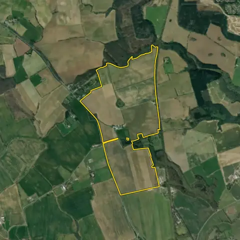
 Fovant104 ha
Wiltshire
Nutrient neutrality catchment River Avon SACCropland 100%
-
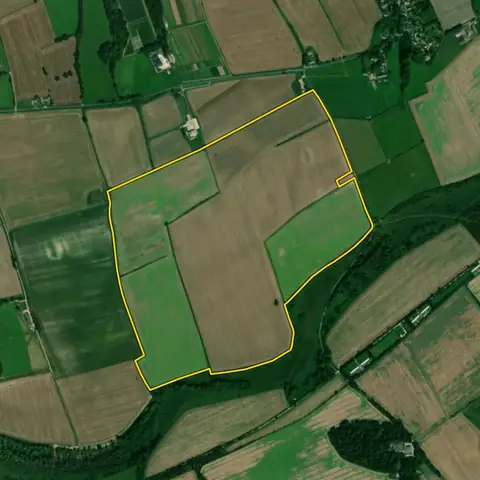
 Rackheath124 ha
Broadland
Nutrient neutrality catchment Bure Broads and MarshesCropland 90%
-
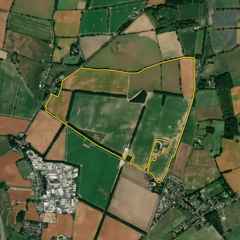
 Langton Herring220 ha
Dorset
Nutrient neutrality catchment Chesil and the Fleet SAC/Ramsar/SPACropland 85%
-
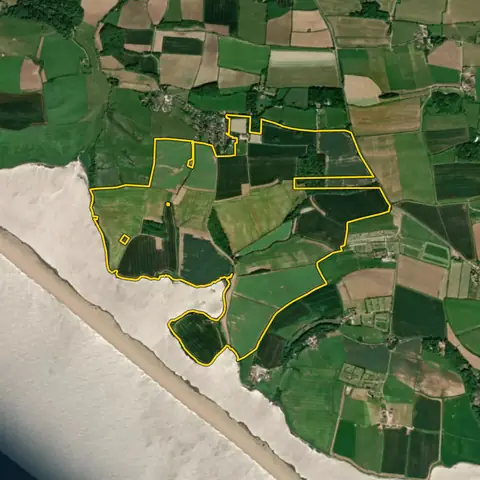
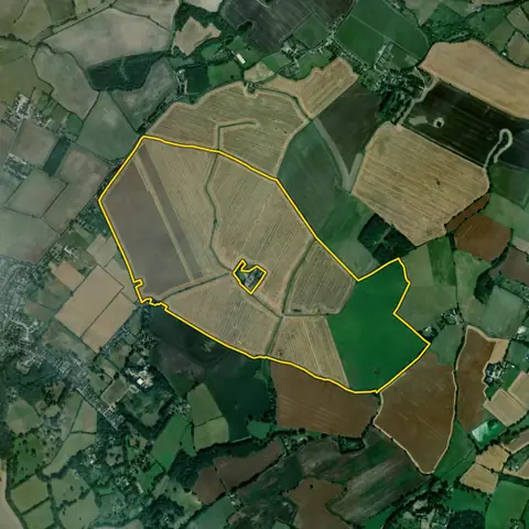 Brabourne139 ha
Ashford
Nutrient neutrality catchment Stodmarsh SAC/SPA/RamsarCropland 80%
-
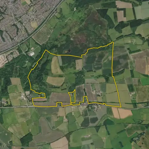 Guisborough287 ha
Redcar and Cleveland
Nutrient neutrality catchment Teesmouth and Cleveland Coast SPA/RamsarCropland 41%
-
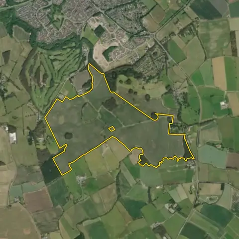 Nunthorpe134 ha
Middlesbrough
Nutrient neutrality catchment Teesmouth and Cleveland Coast SPA/RamsarCropland 91%
Imagery: Mapbox and Maxar. Boundaries: HM Land Registry INSPIRE, Crown copyright.
Related searches
- Land for habitat banks10 ha or more of farmland in England not mostly grade 1 or 2 (grade 3a kept and ranked lower), open, away from designated wildlife sites and common land, little priority habitat now
- Habitat bank land in a habitat network5 ha or more in England, farmland not mostly grade 1 or 2 (grade 3a kept and ranked lower), open, partly inside a mapped habitat network, little priority habitat now
- Land for new woodland1 ha or more in England, 20 m wide, no ancient woodland, priority habitat, best farmland or common land, 250 m from an SSSI; a national park or landscape is flagged as a risk
- Farmland blocks over 20 ha20 ha or more on a road, mostly flat, little flood zone 3, outside towns