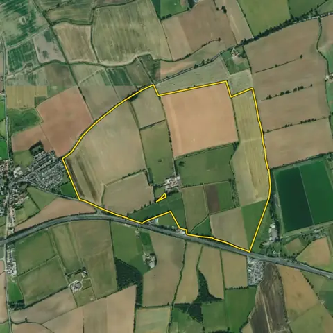
Land for habitat banks
Farmland of 10 ha or more in England, not mostly grade 1 or 2, with little priority habitat now and away from designated wildlife sites: the lower-grade land habitat bank operators look for.
50,501 sites fit this search today
Imagery: Mapbox and Maxar. Boundaries: HM Land Registry INSPIRE, Crown copyright.
A land search, from the first words to a shortlist
38 seconds. Type what you are looking for, see the sites that fit, open one and save it to a shortlist.
What the search looks for
Each line is a filter on the map, so you can widen or tighten any of them.
Open the search- 10 ha or more of farmland in England not mostly grade 1 or 2 (grade 3a kept and ranked lower)
- Open
- Away from designated wildlife sites and common land
- Little priority habitat now
On every site
- What grows there now
- The shares of the land under crops, grass and trees, and how much is already priority habitat.
- Farmland grade
- The share that is best and most versatile land, from the national grades.
- Designations
- SSSIs, ancient woodland, common land and protected landscapes on or near the land.
Why these rules
Habitat bank operators look for 10 ha or more of lower-grade farmland with little wildlife now and no designated sites (Environment Bank, Legacy Habitat Banks). Biodiversity net gain is law in England only (Town and Country Planning Act 1990, Schedule 7A), and priority habitat is mapped for England only; common land and open access moorland are left out.
Off-site gains are measured with the statutory biodiversity metric, secured for at least 30 years by a conservation covenant or a section 106 agreement (Environment Act 2021, section 100) and entered on Natural England's biodiversity gain site register. Woodland is left out.
Sites from the search
Six of the sites the search returned on 10 November 2026. Each opens on the map with its record.
-
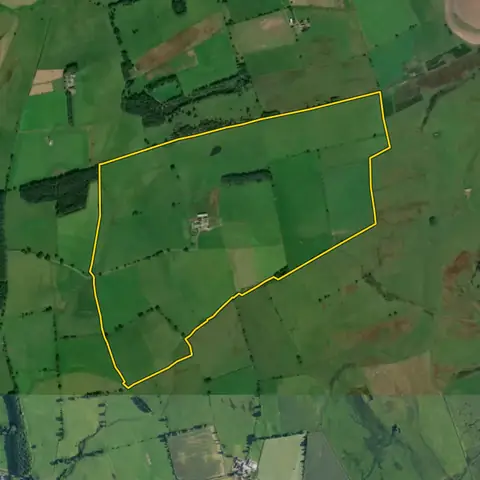 Whittington137 ha
Northumberland
Grassland 98%Priority habitat now Under 1%
-
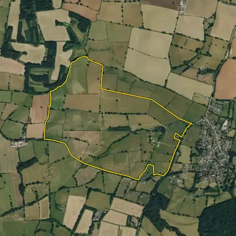 Badby113 ha
West Northamptonshire
Cropland 1%Grassland 96%
-
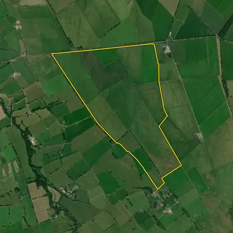 Castle Sowerby128 ha
Westmorland and Furness
Grassland 100%Priority habitat now Under 1%
-
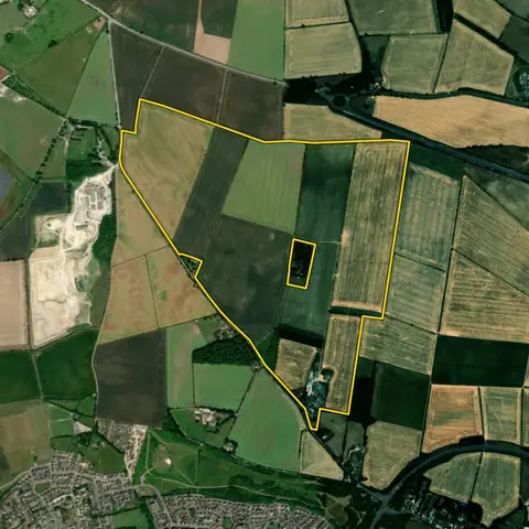 Brize Norton103 ha
West Oxfordshire
Cropland 94%Grassland 2%
-
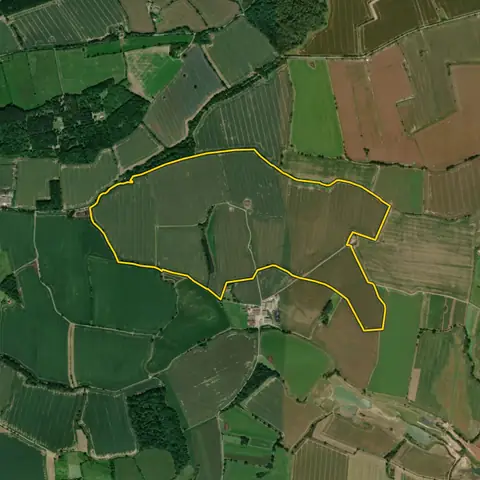 Castle Bytham106 ha
South Kesteven
Cropland 97%Grassland Under 1%
-
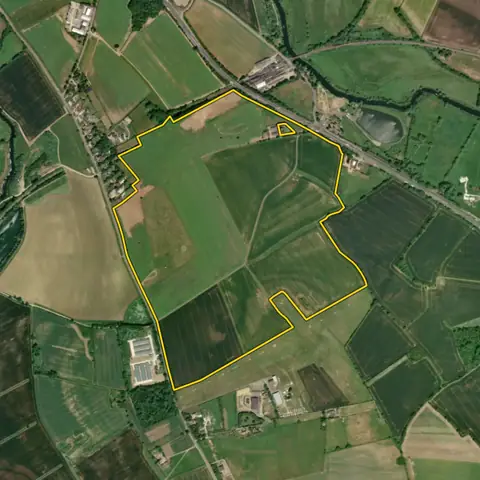 Sibson-cum-Stibbington99.7 ha
Huntingdonshire
Cropland 89%Grassland 10%
Imagery: Mapbox and Maxar. Boundaries: HM Land Registry INSPIRE, Crown copyright.
Related searches
- Habitat bank land in a habitat network5 ha or more in England, farmland not mostly grade 1 or 2 (grade 3a kept and ranked lower), open, partly inside a mapped habitat network, little priority habitat now
- Land for nutrient credits5 ha or more of open farmland in England, outside towns, most of it in a nutrient neutrality catchment, not mostly rough grazing
- Land for new woodland1 ha or more in England, 20 m wide, no ancient woodland, priority habitat, best farmland or common land, 250 m from an SSSI; a national park or landscape is flagged as a risk
- Farmland blocks over 20 ha20 ha or more on a road, mostly flat, little flood zone 3, outside towns