Grey belt land in councils short of housing
Green belt land next to a town or village, in a council where delivery is under 75%, or the plan is over five years old and too few homes are added. Both tests national policy sets for grey belt development are on each site.
19,425 sites fit this search today
Imagery: Mapbox and Maxar. Boundaries: HM Land Registry INSPIRE, Crown copyright.
A land search, from the first words to a shortlist
38 seconds. Type what you are looking for, see the sites that fit, open one and save it to a shortlist.
What the search looks for
Each line is a filter on the map, so you can widen or tighten any of them.
Open the search- Green belt next to a town or village
- Outside national parks
- In a council where delivery is under 75%, or the plan is over five years old and fewer homes are added a year than needed
On every site
- The council's housing position
- The Housing Delivery Test result, the age of the local plan, and homes added a year against the number the council needs.
- Constraints, measured on the site
- The share of the site in the green belt, each flood zone, a conservation area and the other mapped constraints, each from its named source.
- Planning on and around it
- Ten years of planning applications on the parcel, and homes approved nearby in the last five years.
Why these rules
Grey belt is green belt land that does not strongly contribute to purposes (a), (b) or (d) of the green belt: checking sprawl, keeping towns apart and the setting of historic towns (NPPF, August 2026, glossary and GB2). Whether land is grey belt needs the council's assessment against those purposes (Annex E); Plota finds the candidates. Grey belt development also needs an evidenced unmet need (GB7(g)).
National policy (NPPF, August 2026, S5(1)(j) and Annex D): development outside settlements can meet an evidenced unmet need for homes, which is deemed to exist where the latest Housing Delivery Test is under 75%; where a plan is over five years old its supply is measured against local housing need (Annex D 8).
Plota counts a council as short where delivery is under 75%, or its plan is over five years old and it adds fewer homes a year than that need; a plan's age alone is not enough.
National parks and the Broads are left out: national policy refuses major development there other than in exceptional circumstances and limits the scale of the rest (NPPF, August 2026, N4); set National park to Any under Constraints to include them. Woodland is left out.
Sites from the search
Six of the sites the search returned on 10 November 2026. Each opens on the map with its record.
-
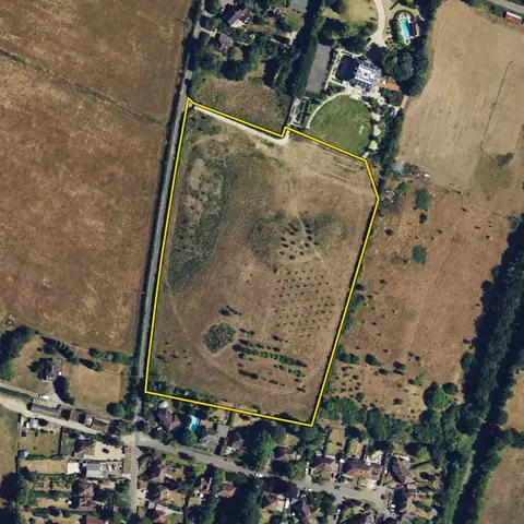
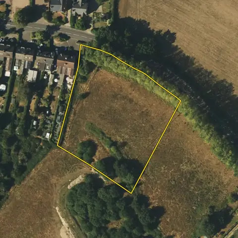 Lingfield0.57 ha
Tandridge
In the green belt 100%Housing Delivery Test 38%
-
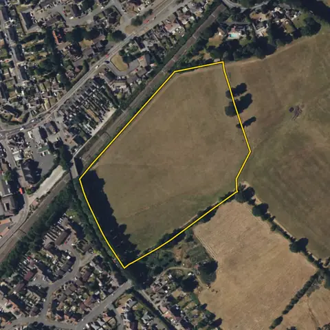 Bromsgrove4.36 ha
Bromsgrove
In the green belt 100%Housing Delivery Test 58%
-
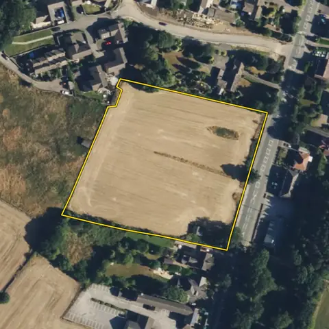 Kirkburton1.07 ha
Kirklees
In the green belt 99%Housing Delivery Test 65%
-
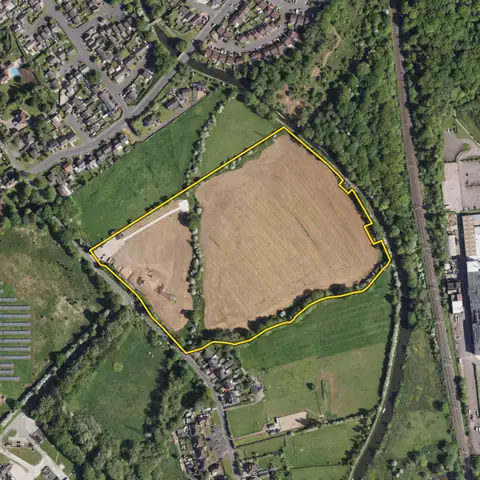 Stoke-on-Trent7.05 ha
Stoke-on-Trent
In the green belt 99%Housing Delivery Test 66%
-
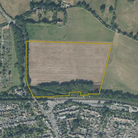 Meopham9.78 ha
Gravesham
In the green belt 100%Housing Delivery Test 61%
-
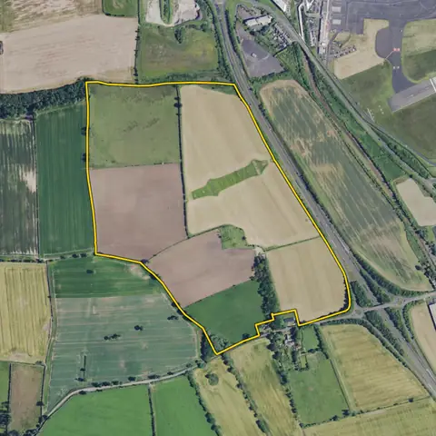 Woolsington44.9 ha
Newcastle
In the green belt 100%Housing Delivery Test 87%
Imagery: Mapbox and Maxar. Boundaries: HM Land Registry INSPIRE, Crown copyright.
Related searches
- Grey belt landIn the green belt, within 100 m of a town or village, 0.4 ha or more, open, outside national parks
- Green belt refusals to look at againRefused before for more than works to a house, in green belt, within 100 m of a town or village, outside national parks
- Land in councils short of housing landOpen land of 0.4 ha or more outside national parks, where delivery is under 75%, or the local plan is over five years old and fewer homes are added a year than the council needs
- Land in councils behind on homes0.5 ha or more just outside a built-up area, open, outside national parks, where the council built under 95% of its target