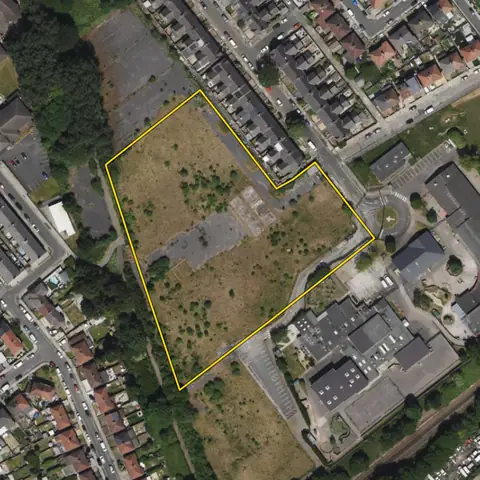
Land for last-mile warehouses
Compact land of 1.2 to 10 ha, at least 60 m across, within 500 m of an A road and at the edge of or inside a town. Busier roads rank higher.
28,120 sites fit this search today
Imagery: Mapbox and Maxar. Boundaries: HM Land Registry INSPIRE, Crown copyright.
A land search, from the first words to a shortlist
38 seconds. Type what you are looking for, see the sites that fit, open one and save it to a shortlist.
What the search looks for
Each line is a filter on the map, so you can widen or tighten any of them.
Open the search- 1.2 to 10 ha
- Compact
- At least 60 m across
- Within 500 m of an A road and at the edge of or inside a town
- Flat
- Outside national parks
- No housing estate or village on it
On every site
- Roads and traffic
- Distance to a motorway and to an A road, and the daily traffic count on the road where the Department for Transport counts it.
- Shape and ground
- Width at the widest point, how compact the plot is, its slope and the share in each flood zone.
- The town it serves
- The population of the built-up area, and spare demand capacity at the nearest primary substation.
Why these rules
Urban logistics developers look for 3 to 25 acres on main routes in or at the edge of towns (Chancerygate requirements); within 250 m of a built-up area counts as the edge of a town, and busier roads rank higher. National policy plans for last mile deliveries (NPPF, August 2026, E1(1)(c)(ii)).
Housing estates and villages are left out (at most 10 addresses a hectare and 50 in all): 95% of housing sites have more than 11 a hectare and half of industrial sites under 5.
National parks and the Broads are left out: national policy refuses major development there other than in exceptional circumstances and limits the scale of the rest (NPPF, August 2026, N4); set National park to Any under Constraints to include them. Woodland is left out.
Sites from the search
Some of the sites the search returned on 10 November 2026. Each opens on the map with its record.
-
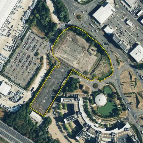 Reading3.44 ha
Reading
Distance to an A road 10 mDistance to built-up area Adjoining
-
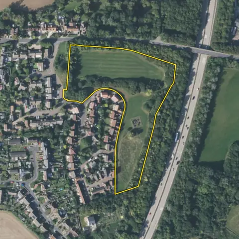 Sandon2.48 ha
Chelmsford
Distance to an A road 34 mDistance to built-up area Adjoining
-
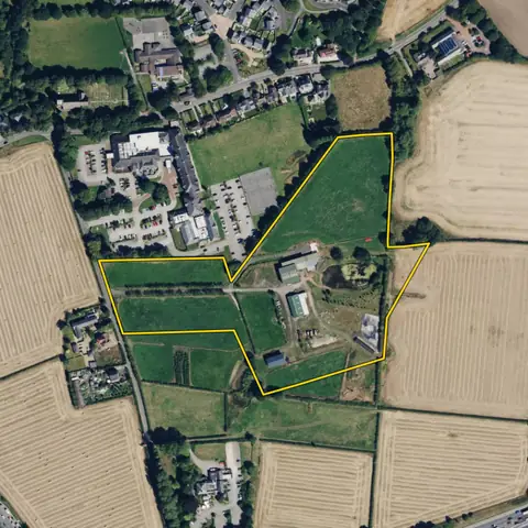 Stretton5.15 ha
Warrington
Distance to an A road 212 mDistance to built-up area Adjoining
-
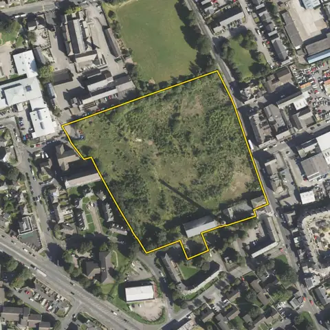 Bradford2.98 ha
Bradford
Distance to an A road 198 mDistance to built-up area Adjoining
-
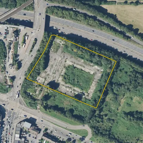 Hillingdon2.14 ha
Hillingdon
Distance to an A road 19 mDistance to built-up area Adjoining
Imagery: Mapbox and Maxar. Boundaries: HM Land Registry INSPIRE, Crown copyright.
Related searches
- Land for big warehouses2.3 ha or more, compact, at least 100 m across, flat, within 2 km of a motorway or beside a trunk A road, out of flood zone 3, the green belt and national parks, no housing estate or village on it
- Land for small business units0.4 to 2 ha, compact, at least 40 m across, near an A road and a town, flat, outside the green belt, no housing estate or village on it
- Land for trade counters0.2 to 1 ha, compact, at least 40 m across, within 100 m of an A road, at a town, not a house, not open green belt
- Land for self-storage0.2 to 2 ha, compact, at least 40 m across, on an A road in a town, not a house